
Some tips for collecting better digital outcrop models using SFM
There are many good resources out there on creating SFM (Structure From Motion) models, but here are a few tips based on common errors I have seen over the past few years. Though far from an exhaustive list it will be enough to ensure you get good results.
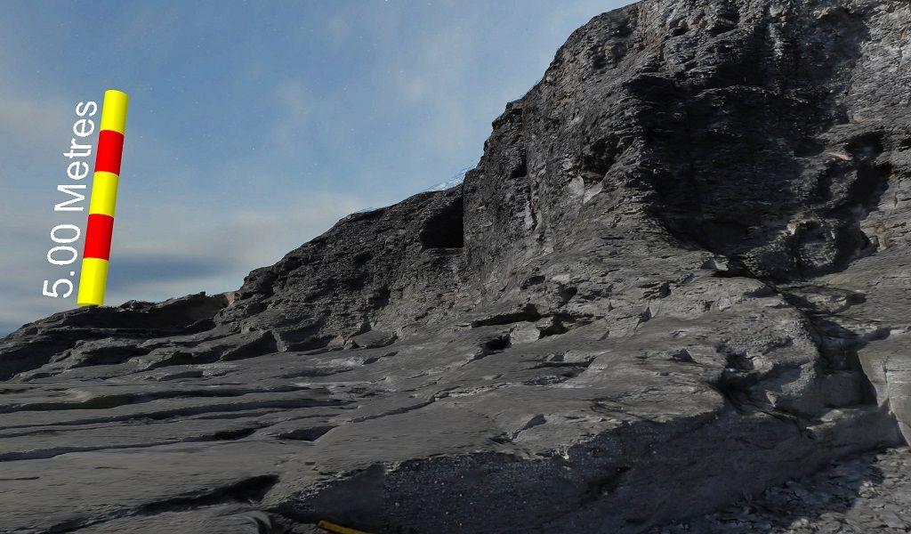
Collecting digital outcrop data is a crucial step in geological research and modelling. However, beginners often make common mistakes that can hinder data quality and accuracy. In this blog post, we highlight these errors and provide insights on how to avoid them for successful data collection.
- Lack of planning: Ensure your data collection aligns with the project's specific purpose. Determine whether you need to identify sedimentary structures, measure fractures, or analyse large-scale geobody geometry. Consider factors such as time availability and battery life, while prioritising gathering necessary data. Collect additional data within logistical constraints if possible.
- Using the wrong equipment: Invest in a good camera and opt for high-quality lenses. Fixed focal length lenses tend to yield better results compared to zoom lenses. For ground-based work, a good quality DSLR, or mirrorless camera with various lenses (28, 35, 50) has proven effective. While the camera body doesn't have to be the latest model, it should still deliver satisfactory outcomes.
- _Being too far from the outcrop: _Capture accurate details by staying an appropriate distance from the outcrop. Avoid being too far away, especially when working with wide-angle lenses or drone data. If you can’t see something in the images, it won't be in the final model.
- Poor camera settings: Aim to capture the best possible images in the field. Take multiple photographs and assess the exposure and focus quality. Minimise reliance on post-processing for exposure correction by getting it right during the initial capture.
- Inadequate image coverage: Avoid standing in one place and taking multiple images. Move around the outcrop, capturing images from different positions to ensure sufficient coverage. Plan a route along which you will take the images to maximise coverage.
- _Insufficient image overlap: _In Structure from Motion (SFM) modelling, having a proper overlap of images is crucial for accurate reconstruction. Insufficient overlap can lead to incomplete or distorted models. Ensure that there is enough overlap between consecutive images to capture all necessary details of the outcrop. This in turn leads to:
- _Not enough images: _Capture more images than you need to ensure you have enough for processing, you can always filter some out. Aim for an 80% overlap when working on terrestrial-based models. For drone surveys, adjust flight velocity based on a timed shot interval to maintain adequate coverage and sharpness.
- Failure to collect georeferencing information: Gather georeferencing information during data collection if possible. Check if your SFM package supports georeferencing or if GPS data collection is necessary. If accurate GPS data is unavailable, use straight edges on the outcrop (e.g., rulers) and a compass for reasonable orientation.
- _Not being familiar with local drone laws: _Review the laws regarding drone flying in your area to avoid unintentionally breaking any regulations. Consult official websites for more information.
By avoiding these common mistakes and adopting a thoughtful approach to data collection, you can enhance the quality and reliability of your digital outcrop data. Remember to plan carefully, use suitable equipment, maintain proximity to the outcrop, optimise camera settings, and collect georeferencing information for successful data collection in the field.