
News, products & geoscience
Product releases, AI and digital outcrop science from the VRGeoscience team.
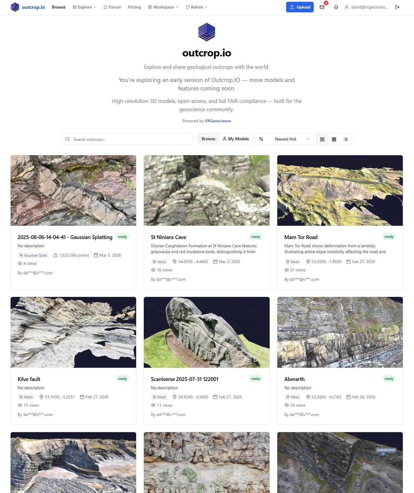
Outcrop.io: A FAIR Data Platform for Digital Outcrop Models
Outcrop.io is a cloud-native platform purpose-built for geoscientists to store, visualise, interpret, and share digital outcrop models. It is the infrastructure layer that the geosciences have been missing - designed from the ground up around the specific needs of 3D geological data.
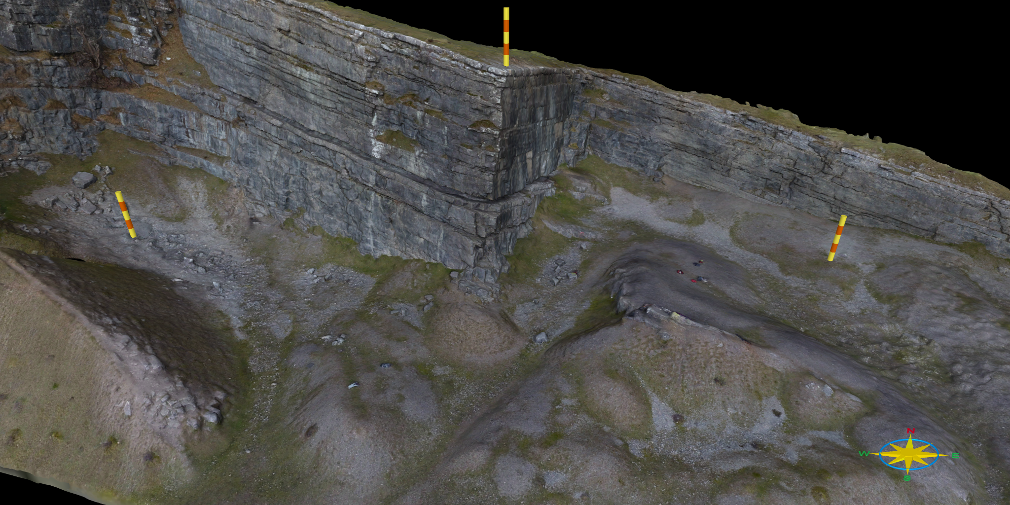
Preserve Geological Detail: How to Link High-Res Images to 3D Models
Digital outcrop models have transformed the way geologists visualise and interpret rock exposures. By combining high-resolution imagery with detailed 3D geometry, they enable remote, accurate, and repeatable analysis of complex geological features.

Python and Digital Outcrops
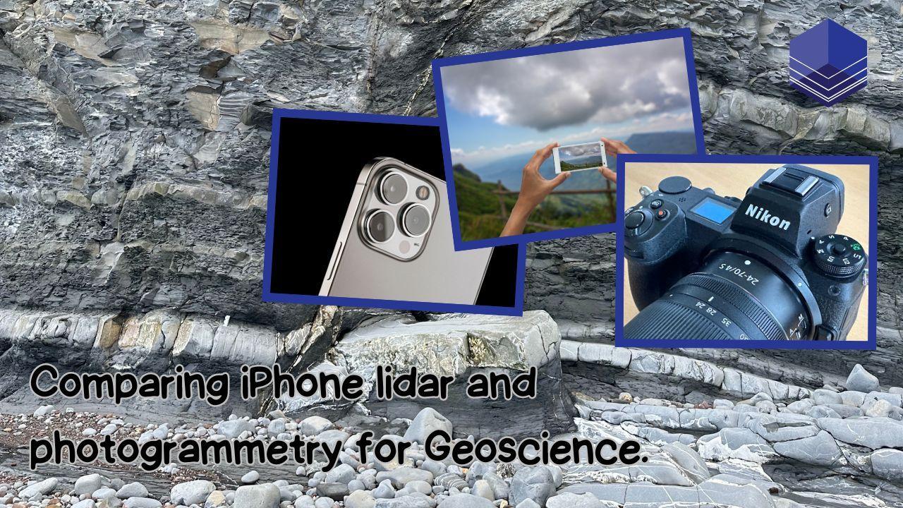
Comparing Data Collection Techniques: iPhone lidar, iPhone Camera, and Mirrorless Camera
During our recent trip to Kilve, we experimented with three distinct data collection methods: iPhone lidar, a phone camera, and a mirrorless camera (Nikon Z7 Mark III).
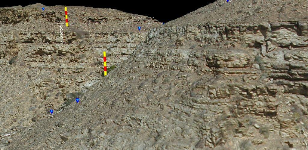
Revisiting Fan 2 - Tanqua Karoo Basin
In a recent clear out of old data CDs and DVDs I happened across the original imagery and the DGPS data for a test study of part of Fan 2 in the Tanqua Fan complexes.
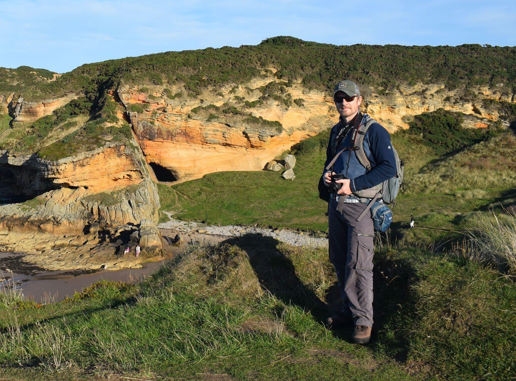
Welcome to Dr Brian Burnham
Part of my role as a Senior Geoscientist is to continue scientific research and discovery, but with an overall aim of creating and promoting tools and analytical methods that empower geoscientists to make better and more informed decisions from digital outcrop data.
4 Years of VRGeoscience
When I started my programming journey on my Commodore VIC 20, I had a childhood dream of running my own software company. Finally, that’s come to fruition – and it’s AWESOME!
The Fundamentals of Coordinate Systems in Digital Outcrop Modelling
In this blog post, we will delve into the details of what coordinate systems are, how they function within DOM, and practical tips on using them effectively. We will also introduce the concepts of Well-Known Text (WKT) and European Petroleum Survey Group (EPSG) codes, which are essential for standardising coordinate systems across different platforms and software.
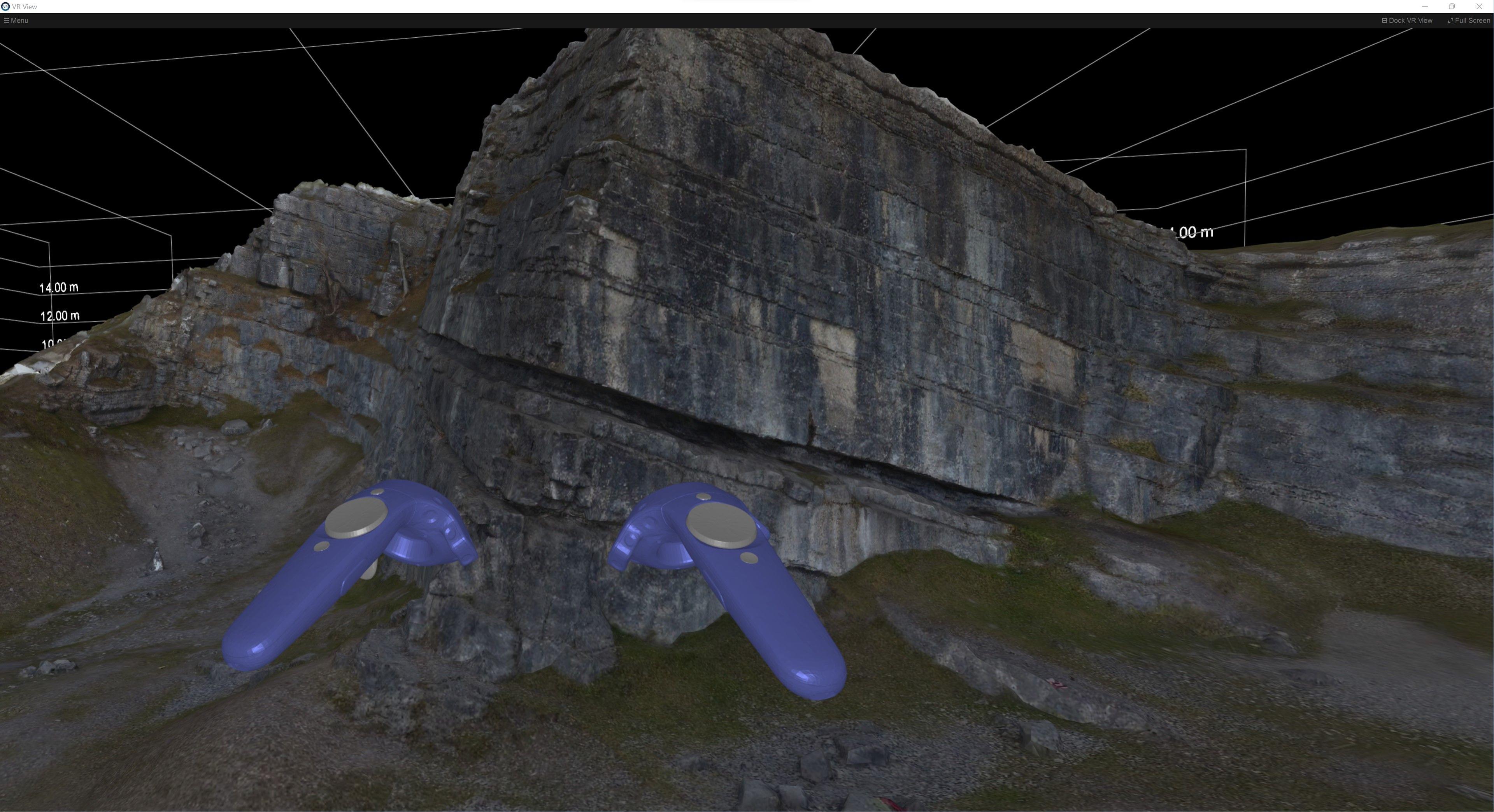
From Desktop to VR: Seamless Transition in VRGS
In the realm of geoscience, the ability to visualise and interpret geological data in a three-dimensional environment is revolutionising the way we study and understand the Earth's subsurface. Here we delve into the unique capabilities of both the desktop and VR modes in VRGS and explore how the software's flexibility is enhancing the user experience and transforming the way we interact with geological data.
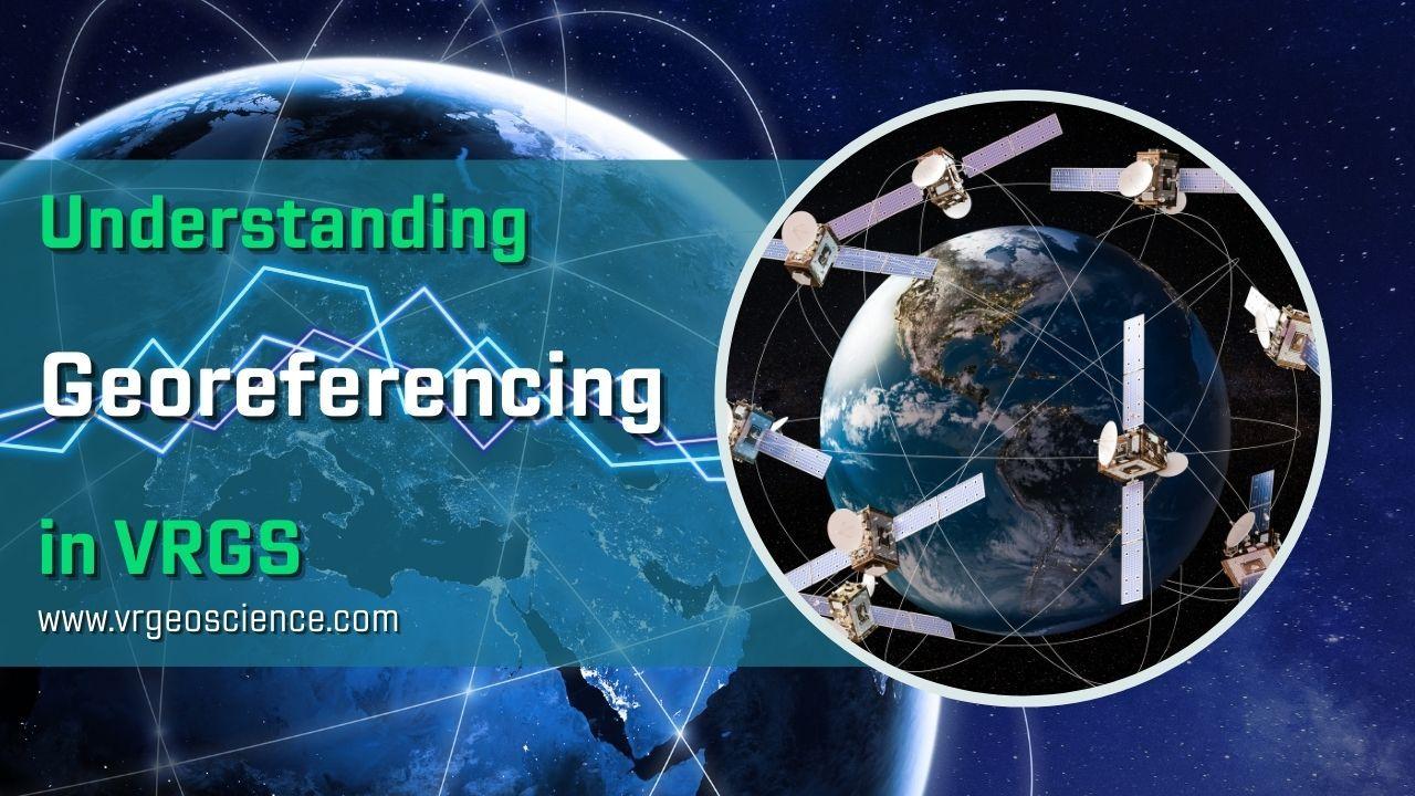
Understanding Georeferencing in VRGS
Georeferencing is a process that involves associating spatial data with a specific location on the Earth's surface. In simpler terms, it's the method of assigning real-world coordinates to each point of a dataset. This process is crucial in the field of geology, where data often needs to be visualised and analysed in the context of its geographical location.
Field Guides for Virtual Field Trips with HTML
Our 'Simple Site' HTML template serves as a practical starting point for creating an accessible and engaging field guide for your virtual field trip.
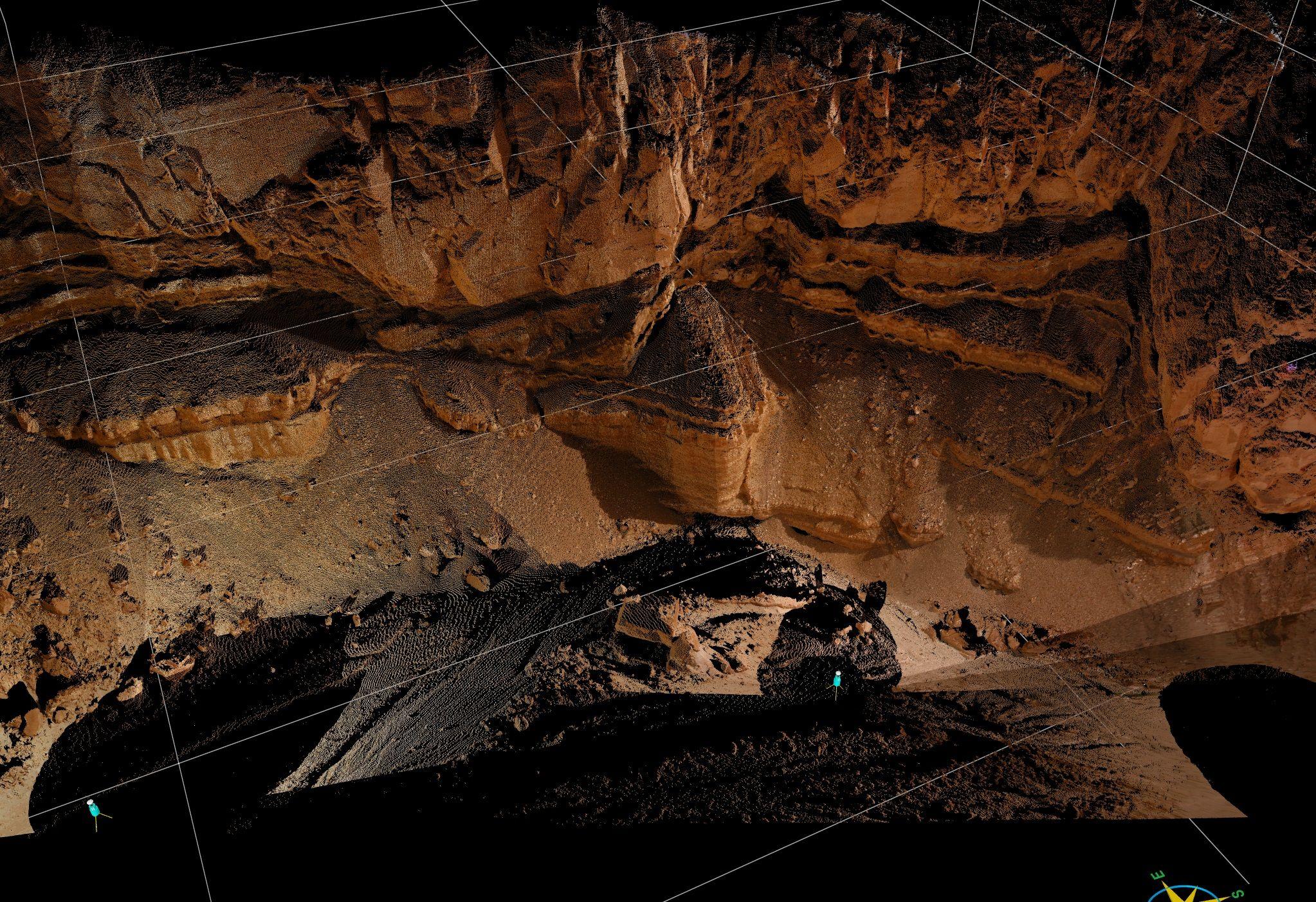
Point Clouds, Textured Meshes or Tiled Models?
Point clouds, textured meshes, and tiled models, each with their unique strengths and challenges, are crucial components of digital outcrop modelling. Although they each have individual pros and cons, their synergy often leads to the most rewarding results.
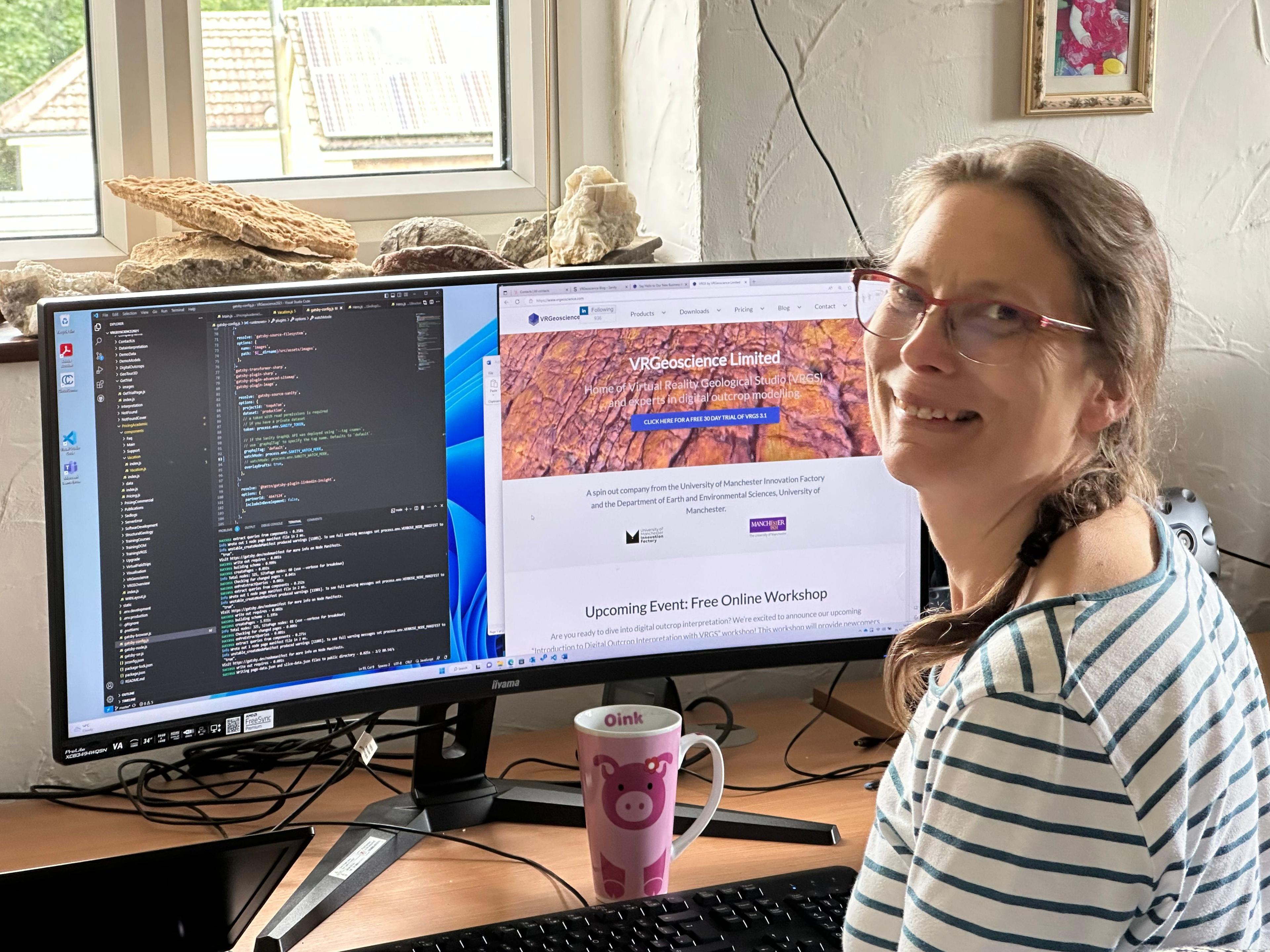
Say Hello to Our New Business Admin Mimi!
From a background in geophysics (palaeomagnetism) I am enjoying a new focus in supporting VRGeoscience.
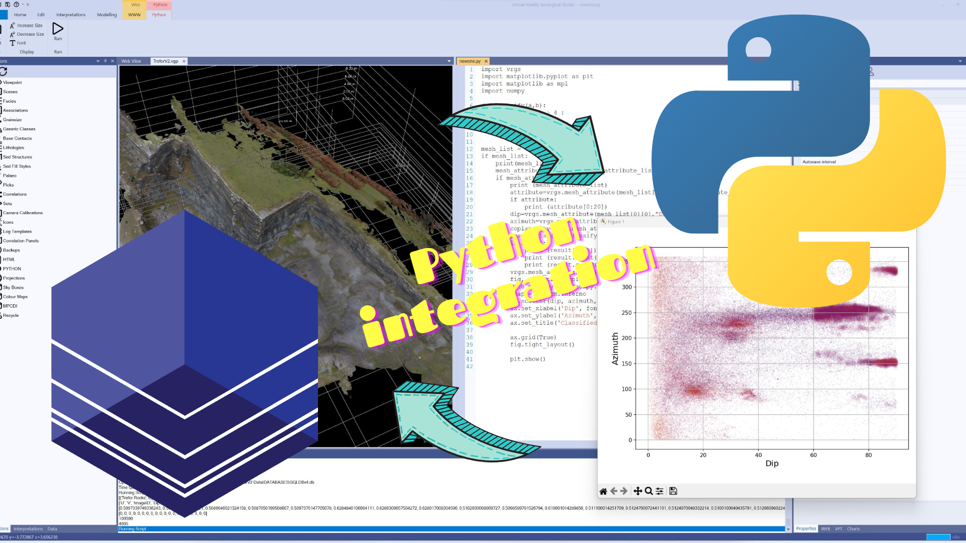
Analysing Geological Data with Python and VRGS
In this blog post, we explore how Python and the VRGS library can be used to analyse and visualise geological data. The provided code example showcases attribute classification and scatter plot visualisation, allowing geologists to gain insights and uncover patterns in their geological datasets.
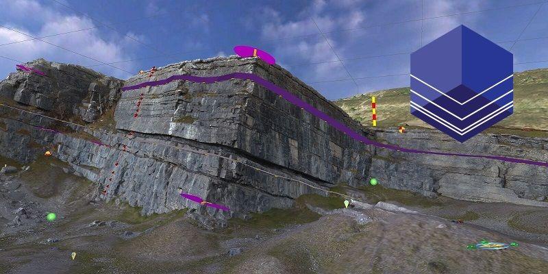
The Significance of Digital Outcrop Modelling in the Energy Transition
In the ongoing energy transition, geology and digital outcrop modelling will play a critical role in our quest for sustainable and efficient energy solutions. A detailed understanding of geological outcrop analogues is vital for driving the transition towards a cleaner and greener future.
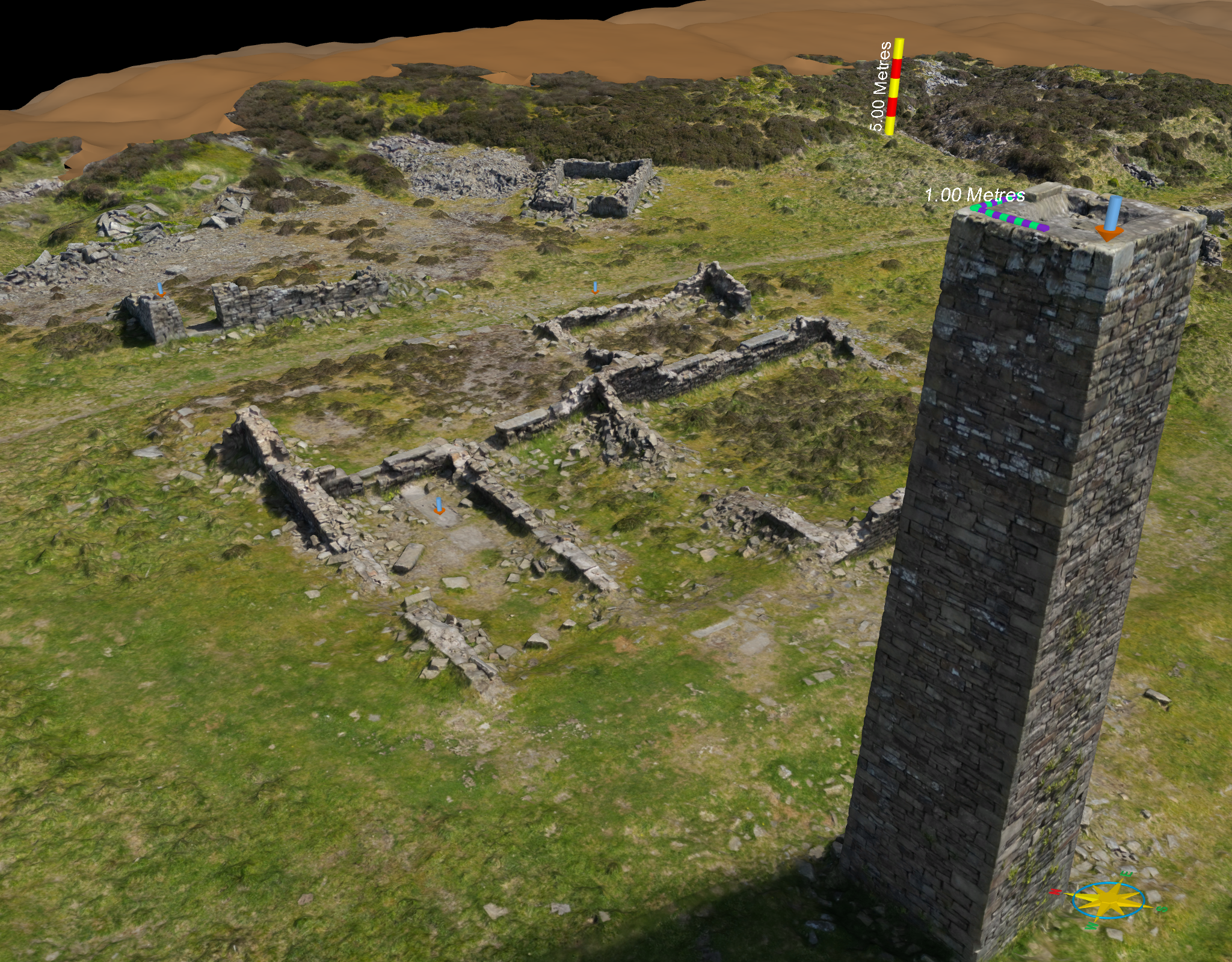
Musbury Heights Quarry: A Window into Rossendale's Industrial Heritage
These stone slabs, used for pavements and roofs during the Industrial Revolution, still leave their mark on the region today.
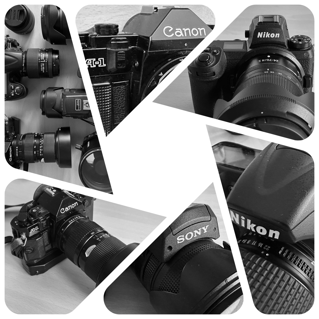
A Journey Through Time: My Field Cameras from Canon A1 to Nikon Z7 II
My career in the geosciences allowed me to put my photographic knowledge and skills to good use. Over the years I have had the pleasure of using some great, and not so great, cameras. The best of these I have held onto as a slowly growing collection.
The Future of Technology in Earth Sciences
In the ever-evolving world of earth sciences, technology plays a pivotal role in unlocking new possibilities and revolutionizing the way we understand our planet.
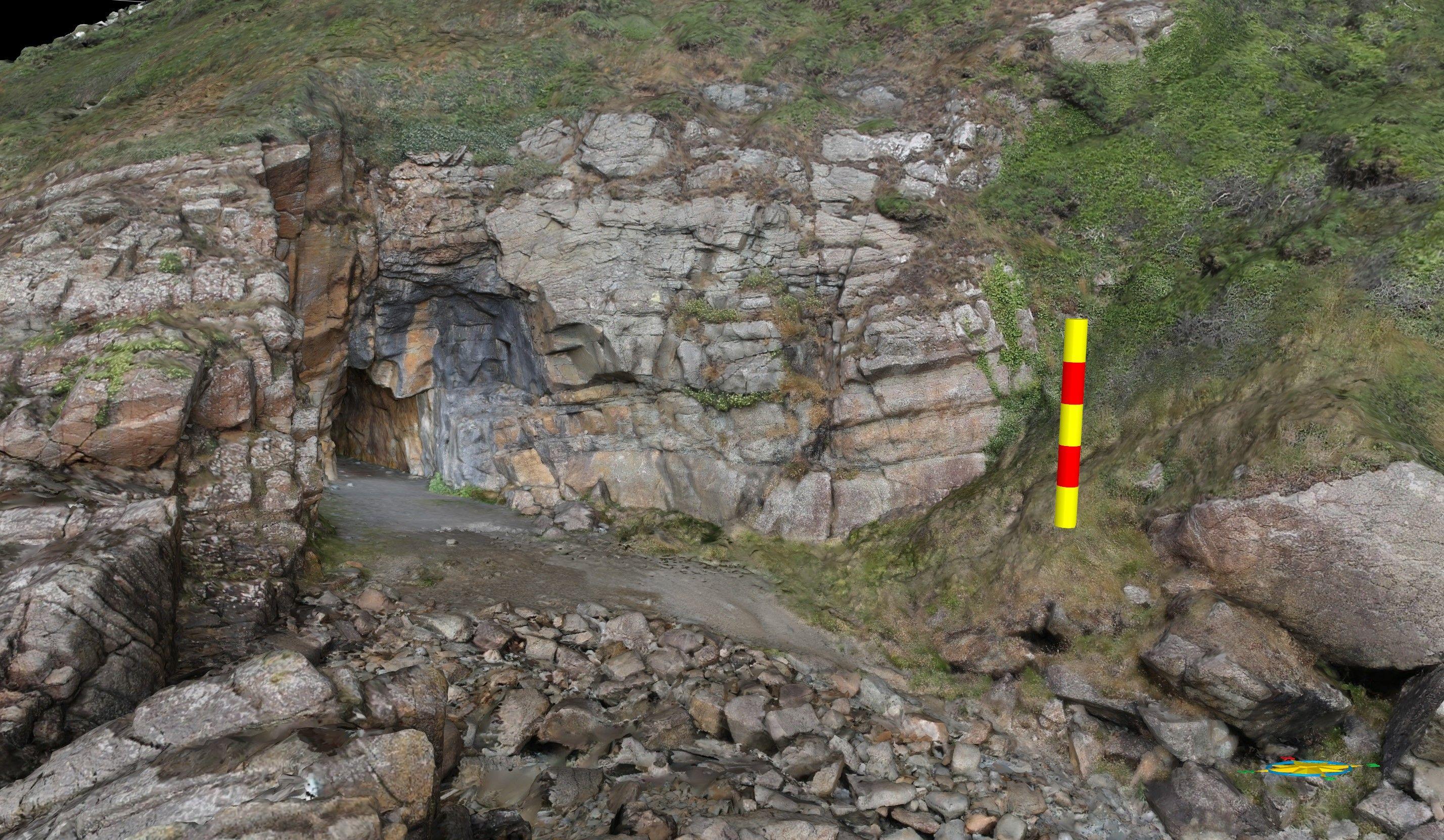
Exploring St. Ninian's Cave: A Photogrammetric Adventure
Photogrammetry opens up exciting possibilities for geoscientists, offering a valuable tool for documenting, studying, and sharing the geology and heritage around us.
Digital Outcrop Modelling and Geological Mapping: Shaping the Future of Geology
Geologists can create comprehensive digital maps that integrate various data layers, such as rock type, structure, and geophysical measurements, in a cohesive and interactive manner.
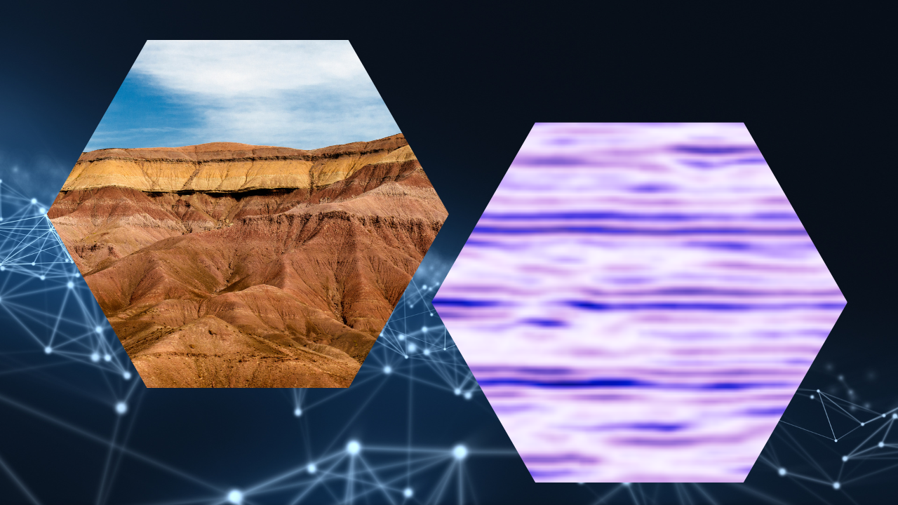
Digital Outcrop Geology: Bridging the Gap between Fieldwork and Subsurface Modelling
By combining high-resolution imaging technologies with advanced modelling techniques, digital outcrop geology is revolutionising the way we bridge the gap between fieldwork and subsurface modelling.
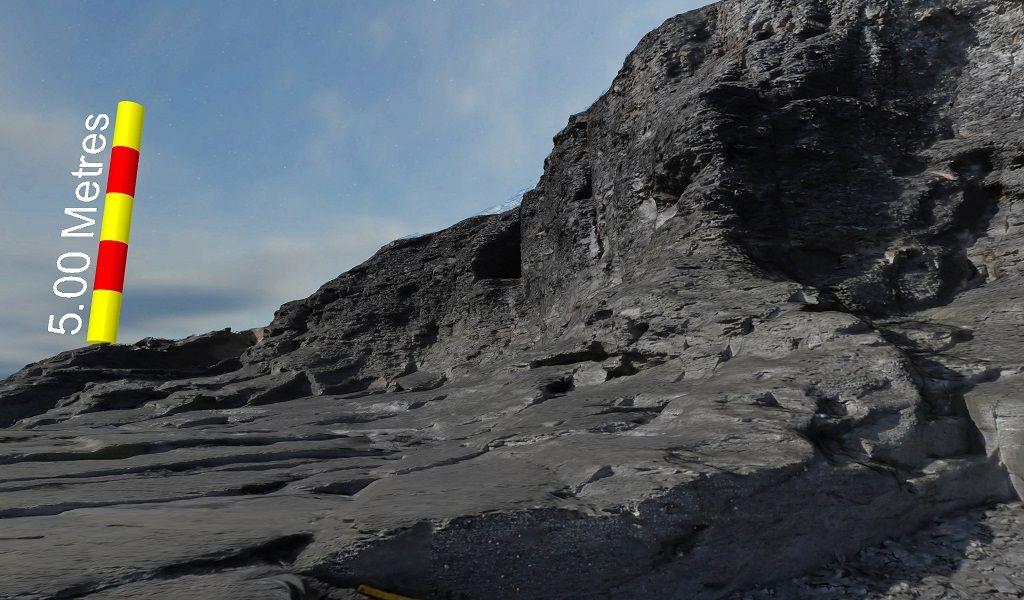
Some tips for collecting better digital outcrop models using SFM
There are many good resources out there on creating SFM (Structure From Motion) models, but here are a few tips based on common errors I have seen over the past few years. Though far from an exhaustive list it will be enough to ensure you get good results.
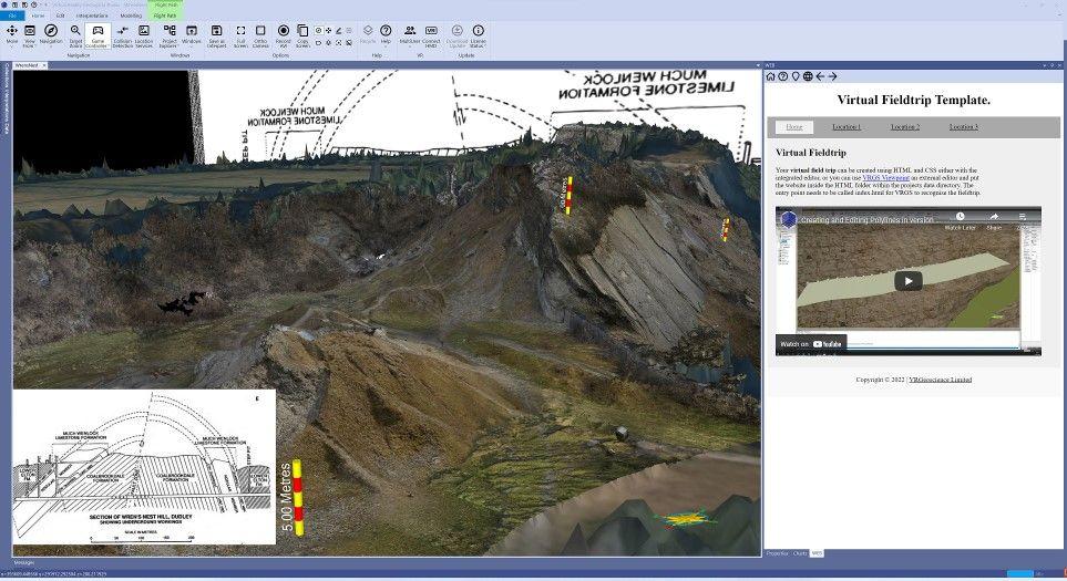
Exploring Geology Remotely: The Advantages of Virtual Field Trips
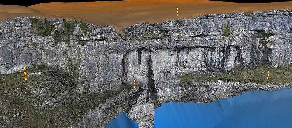
You don't always need a drone!
While drones can be useful, ground-based photography techniques can also work for areas with high foot traffic or sensitive environments. Stay safe and respect privacy with alternative techniques.
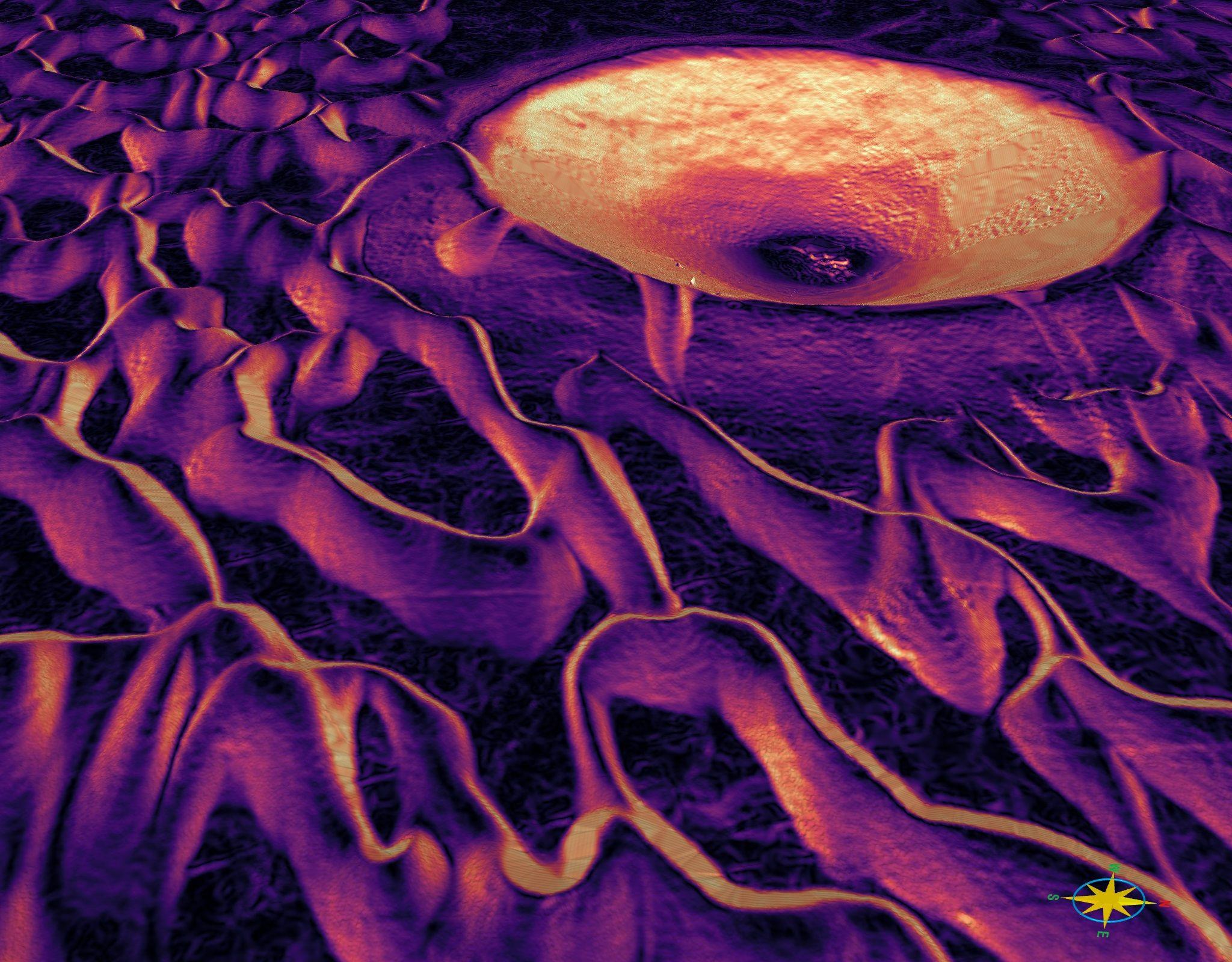
Planetary Mapping with NASA HiRISE Data in VRGS
Digital outcrop modelling techniques are being applied to the geology of Mars. By creating 3D models of Martian outcrops, we can better understand the geology of the planet, how its rocks and minerals were formed, and learn more about its history and evolution. Here we look at data from the High Resolution Imaging Science Experiment on the Mars Reconnaissance Orbiter:
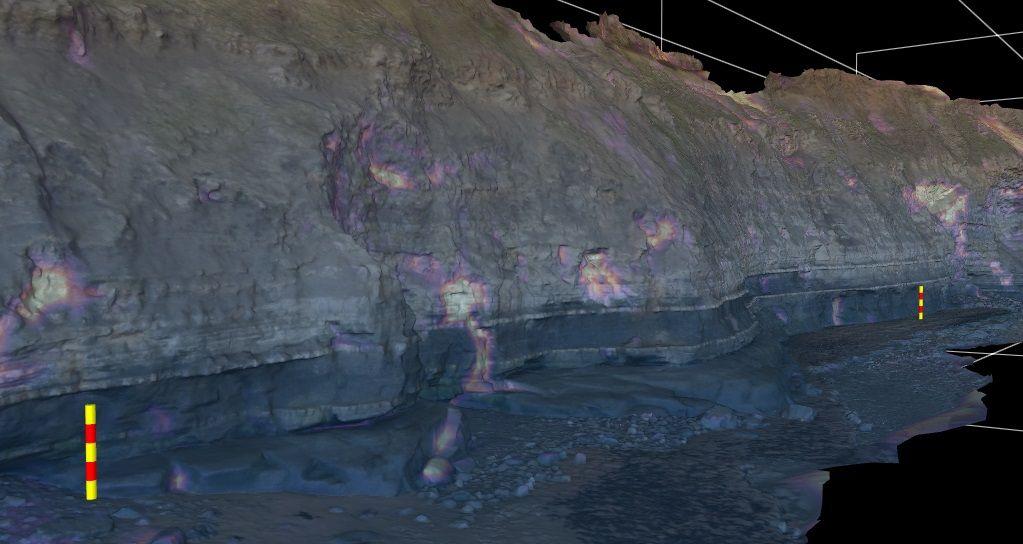
Monitoring cliff erosion with low-cost UAVs
Can drones be used to monitor erosion on cliff faces?
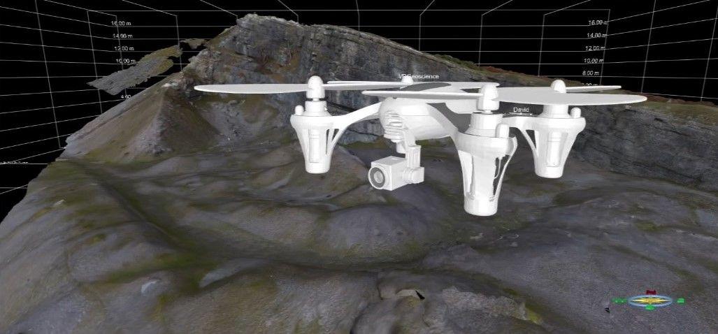
Why use digital outcrops?
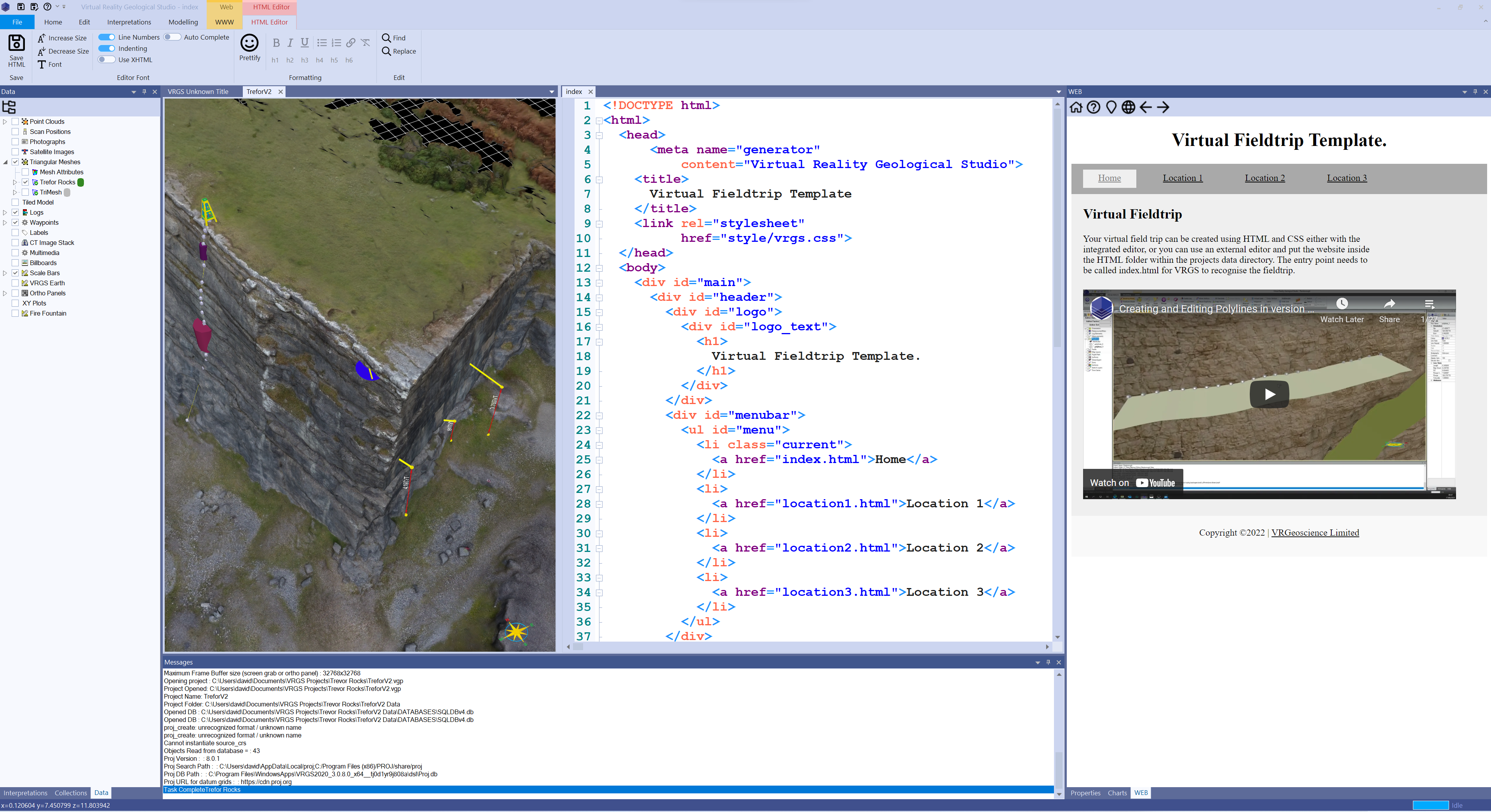
Enhancing your virtual fieldtrips with interactive field guides
With the integrated web browser and HTML editor in VRGS it is now possible to take traditional field guides and link them to interactive virtual fieldtrips.
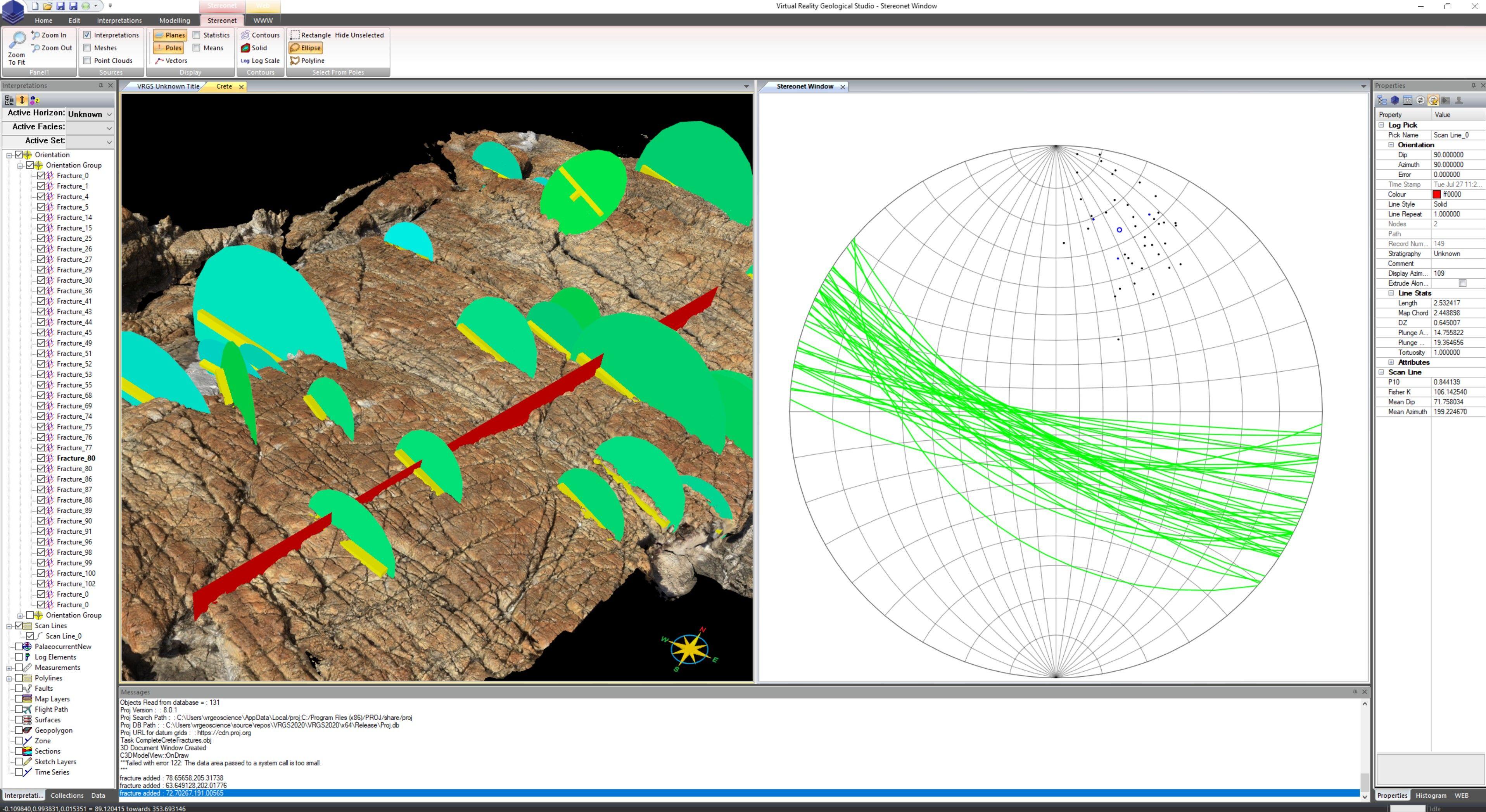
Fracture Scan Lines in VRGS
Digital outcrops provide a great opportunity to collect statistical data on fractures. Here are a few tips to get you started.
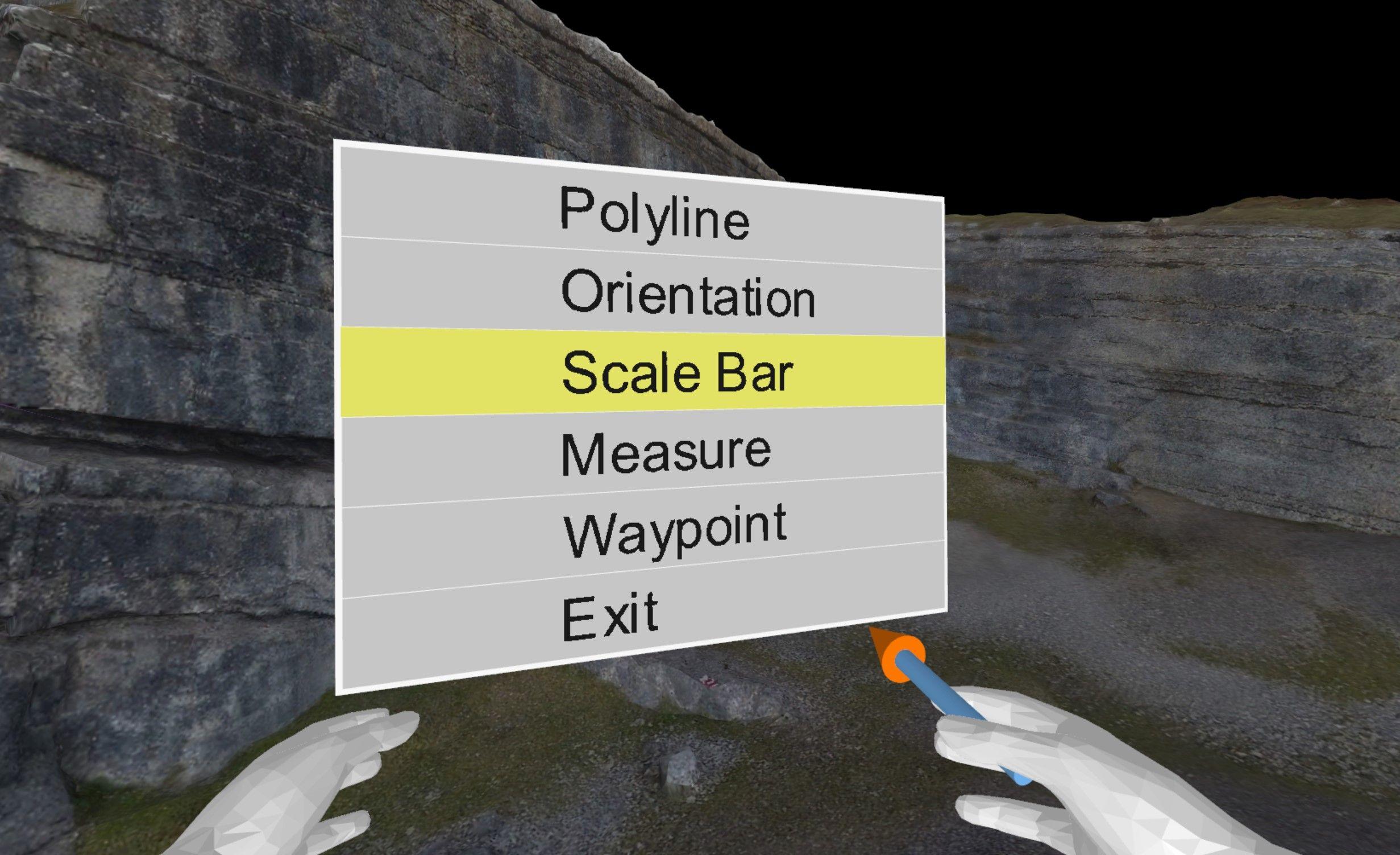
New updates to the VR functionality
New VR Functionality in VRGS 2.65 Build 21
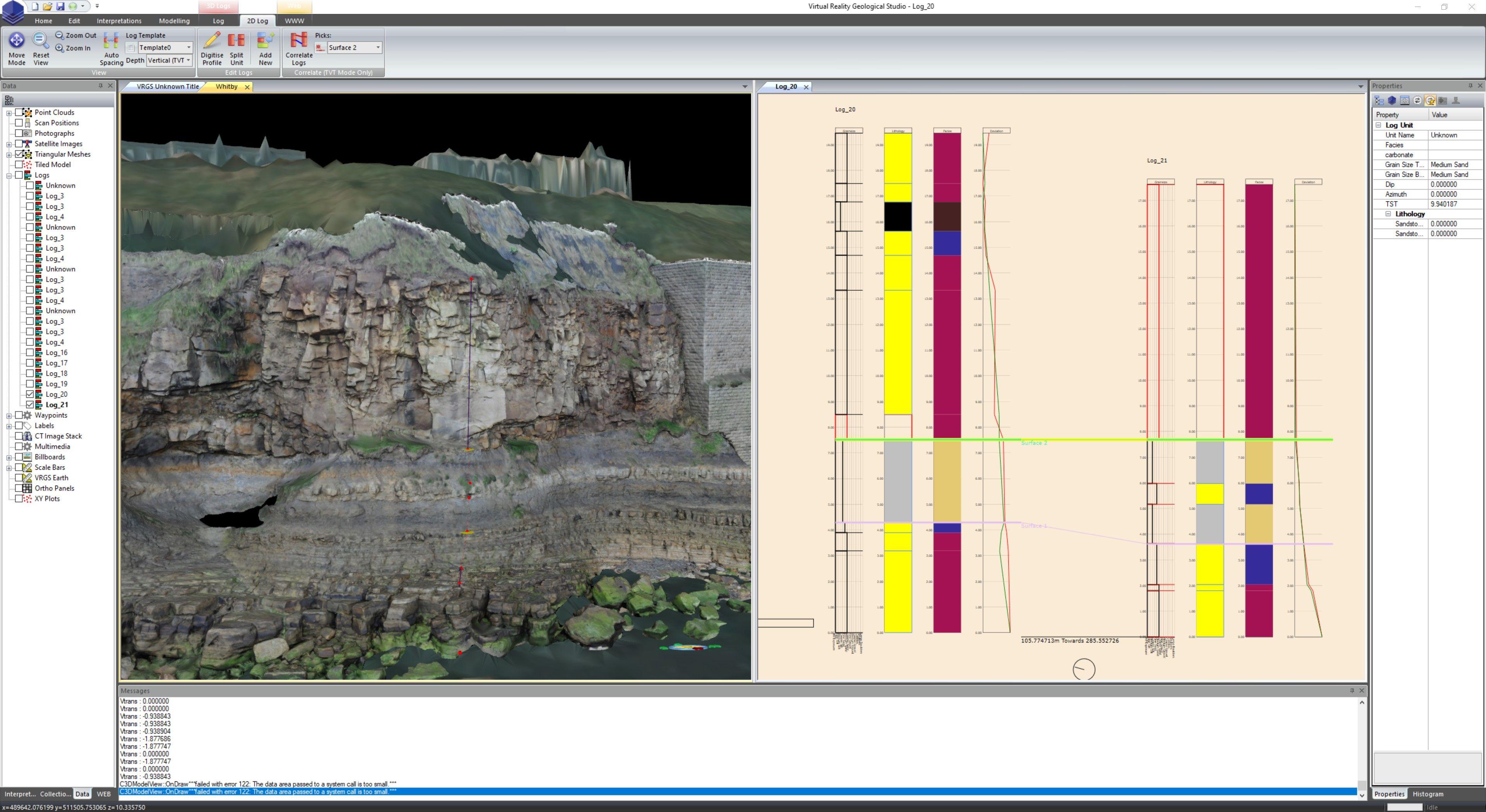
VRGeoscience Limited Newsletter
It has been a remarkably busy 10 months since beginning the VRGeoscience Limited journey, and there have been many exciting developments to VRGS over that time.
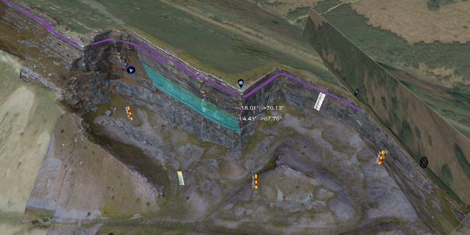
Orthopanels : a different projection
Orthopanels and orthographic projections are valuable tools that enable the generation of dip-corrected 2D views of inclined strata in geology. Additionally, they aid in projecting geobodies along palaeoflow, enhancing our comprehension of true width/thickness relationships.